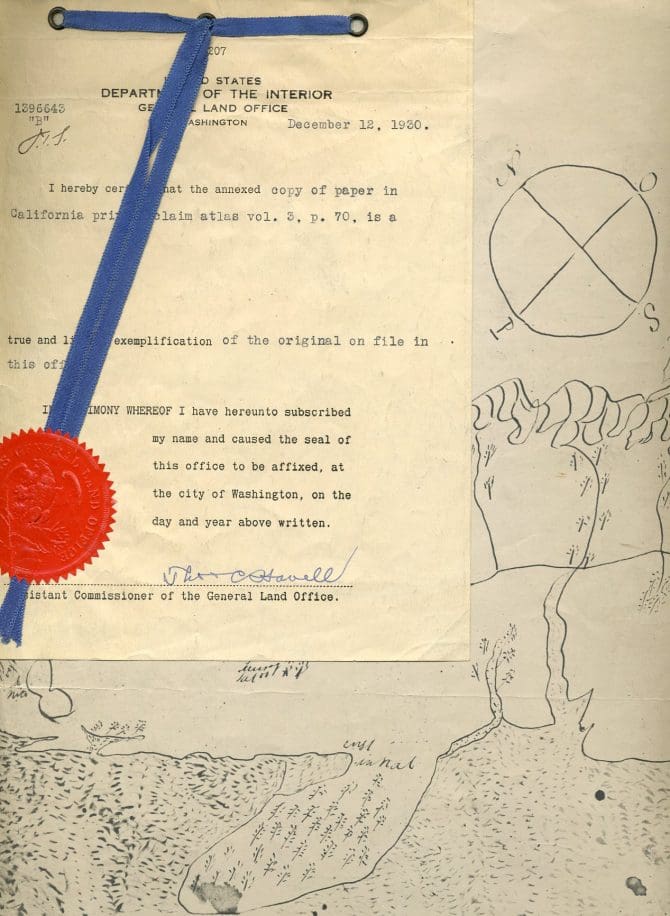
Primarily deeds, leases, diseños, and other property records relating to land lying within the original boundaries of Rancho San Antonio. Also includes research notes about Rancho San Antonio and the Peralta family. Folder 1 contains a copy of the official translation of the Spanish land grant issued to Don Luís Peralta in 1820, a manuscript translation of the original title, a photocopied manuscript copy of the mortgage documents and title searches through 1882, and photostats of several diseños. Folders 2-10 contain primarily deeds and leases to property at one time owned by the family member(s) named on the folder. Also included, in folder 3, a family tree showing the descendants of María Teodora, and in folder 8, many of the leases are between Thomas and Elizabeth Scott and other individuals. Folder 11 contains: copies of hand-drawn maps showing the locations of the family's homes in San Jose and on the Rancho; a "Digest of historical references to the Peralta family," compiled in 1924 (with additions in 1946) by Mabel W. Thomas; "The story of Rancho de los Codornices," by Mary T. Carleton; and "Rancho San Antonio and its division among the four sons of Luis Peralta," based on notes taken at the lectures of University of California professor J.N. Bowman (with accompanying notes).
(OHC MSS PERALTA)
11 folders (.3 linear feet)
Go here for a more detailed list of this collection's contents.
Available at Oakland History Center, Main Library.

