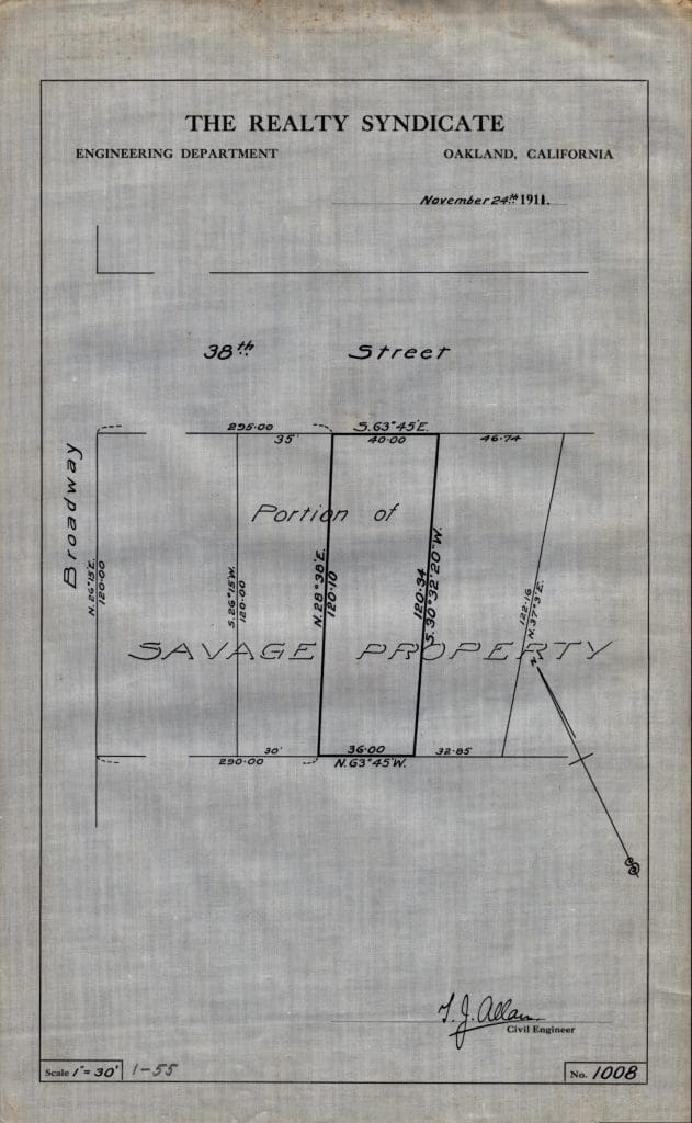
Plat maps of Oakland, California, prepared by the Realty Syndicate Company between 1911 and 1919. Organized by date.
The Realty Syndicate Company was a real estate development firm headed by Francis Marion Smith and Frank C. Havens. The firm had a major impact on Oakland subdivision development and on urban rail transportation in the East Bay.
(OHC COLL 2012-2)
155 maps in 1 box (.2 linear feet)
Available at Oakland History Center, Main Library.

